Second dig
Introduction
The photograph on this page of Second dig by Bill Nicholls as part of the Geograph project.
The Geograph project started in 2005 with the aim of publishing, organising and preserving representative images for every square kilometre of Great Britain, Ireland and the Isle of Man.

There are currently over 7.5m images from over 14,400 individuals and you can help contribute to the project by visiting https://www.geograph.org.uk
Second dig
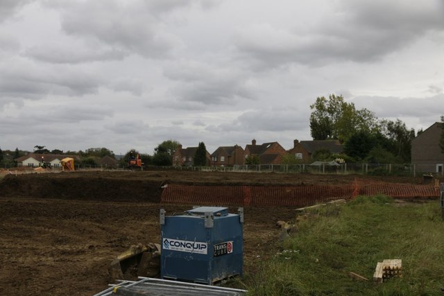
Image: © Bill Nicholls Taken: 2 Oct 2017
The archaeological dig at Celsea place Cholsey has now moved to a second phase
Images are licensed for reuse under creativecommons.org/licenses/by-sa/2.0
Image Location
Latitude
51.57041
Longitude
-1.148381