Extension to 19 King Edward Street
Introduction
The photograph on this page of Extension to 19 King Edward Street by Alan Murray-Rust as part of the Geograph project.
The Geograph project started in 2005 with the aim of publishing, organising and preserving representative images for every square kilometre of Great Britain, Ireland and the Isle of Man.

There are currently over 7.5m images from over 14,400 individuals and you can help contribute to the project by visiting https://www.geograph.org.uk
Extension to 19 King Edward Street
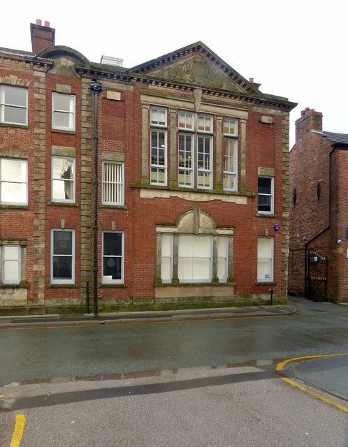
Image: © Alan Murray-Rust Taken: 25 Jan 2018
Built in 1927 when No.19 http://www.geograph.org.uk/photo/5667389 was converted to office use. Listed Grade II as part of the main building.
Images are licensed for reuse under creativecommons.org/licenses/by-sa/2.0
Image Location
Latitude
53.261582
Longitude
-2.127085