Junction of Roseville Road and Roundhay Road
Introduction
The photograph on this page of Junction of Roseville Road and Roundhay Road by Stephen Craven as part of the Geograph project.
The Geograph project started in 2005 with the aim of publishing, organising and preserving representative images for every square kilometre of Great Britain, Ireland and the Isle of Man.

There are currently over 7.5m images from over 14,400 individuals and you can help contribute to the project by visiting https://www.geograph.org.uk
Junction of Roseville Road and Roundhay Road
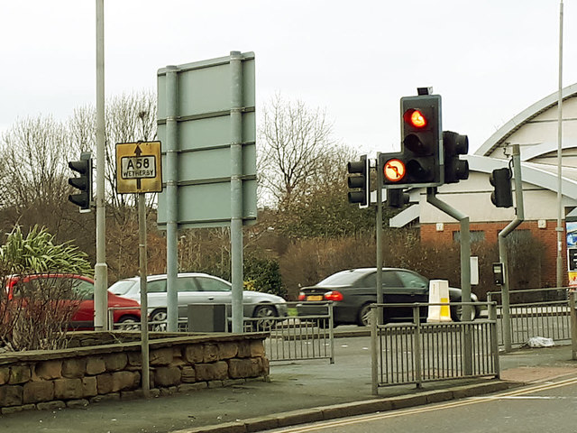
Image: © Stephen Craven Taken: 27 Jan 2018
An old map shows a PCB (police call box?) on this corner. That is long gone, but an old road sign for Wetherby remains.
Images are licensed for reuse under creativecommons.org/licenses/by-sa/2.0
Image Location
Latitude
53.811063
Longitude
-1.524017