St Vincent Road, Clacton-on-Sea
Introduction
The photograph on this page of St Vincent Road, Clacton-on-Sea by Duncan Graham as part of the Geograph project.
The Geograph project started in 2005 with the aim of publishing, organising and preserving representative images for every square kilometre of Great Britain, Ireland and the Isle of Man.

There are currently over 7.5m images from over 14,400 individuals and you can help contribute to the project by visiting https://www.geograph.org.uk
St Vincent Road, Clacton-on-Sea
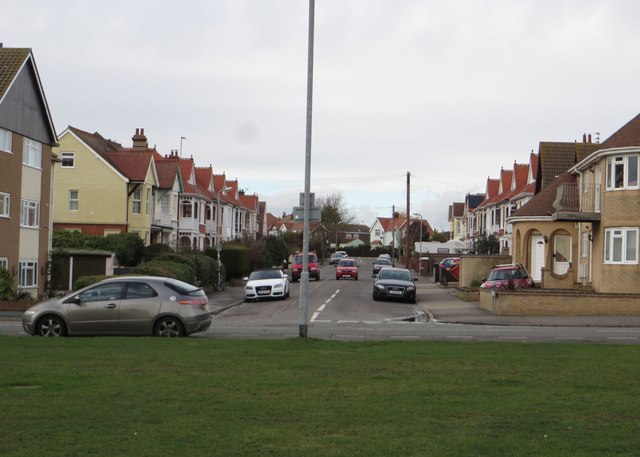
Image: © Duncan Graham Taken: 31 Jan 2018
Residential street leading off seafront; photographed from promenade on Marine Parade West. St Vincent Road leads to the junction of Wash Lane, Kings Road and Freeland Road. Named after John Jervis, first Earl of St Vincent (1735 - 1823), First Lord of the Admiralty, who played a role in the defeat of Napoleon. This and neighbouring streets were named with Nelson associations: Nelson Road, Trafalgar Road, Collingwood Road. On Ordnance Survey maps, St Vincent Road is at the western edge of grid square TM 1714 and just edges into TM 1614. [Source of details on Earl of St Vincent: "Nelson: A Personal History" by Christopher Hibbert, 1994].
Images are licensed for reuse under creativecommons.org/licenses/by-sa/2.0
Image Location
Latitude
51.783805
Longitude
1.145259