Bridge over Gruggies Burn
Introduction
The photograph on this page of Bridge over Gruggies Burn by Lairich Rig as part of the Geograph project.
The Geograph project started in 2005 with the aim of publishing, organising and preserving representative images for every square kilometre of Great Britain, Ireland and the Isle of Man.

There are currently over 7.5m images from over 14,400 individuals and you can help contribute to the project by visiting https://www.geograph.org.uk
Bridge over Gruggies Burn
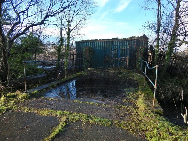
Image: © Lairich Rig Taken: 19 Jan 2018
The 1:25000 map shows two bridges crossing the burn in this area; this one is by far the more recent. The other one, just to the north, is a Image, and it crosses the burn much more obliquely. Both bridges are blocked off. At the time these pictures were taken, the old Allied Distillers site on the other side of the burn was being redeveloped for housing: https://www.geograph.org.uk/snippet/15948
Images are licensed for reuse under creativecommons.org/licenses/by-sa/2.0
Image Location
Latitude
55.939131
Longitude
-4.556974