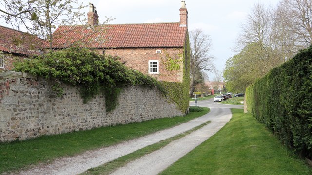
A short track adjacent to Manor Farm
Introduction
The photograph on this page of A short track adjacent to Manor Farm by Alan Walker as part of the Geograph project.
The Geograph project started in 2005 with the aim of publishing, organising and preserving representative images for every square kilometre of Great Britain, Ireland and the Isle of Man.
There are currently over 7.5m images from over 14,400 individuals and you can help contribute to the project by visiting https://www.geograph.org.uk

Image: © Alan Walker Taken: 9 Apr 2017
Ahead is the village of Roecliffe. On the left, at the end of the lane, is the Crown Inn. http://www.geograph.org.uk/of/crown+inn+roecliffe . In the distance, just beyond the red telephone box, is the parish church of St. Mary. By the side of the Image a public footpath leads across fields toward a view of the River Ure. To the right, just by the viewpoint, is a Image to Thorns Lane. Behind the viewpoint a public right of way leads to Waingates Farm. See this photograph by Derek Harper, Image

