Demolition of Tradex - Bradford Road
Introduction
The photograph on this page of Demolition of Tradex - Bradford Road by Betty Longbottom as part of the Geograph project.
The Geograph project started in 2005 with the aim of publishing, organising and preserving representative images for every square kilometre of Great Britain, Ireland and the Isle of Man.

There are currently over 7.5m images from over 14,400 individuals and you can help contribute to the project by visiting https://www.geograph.org.uk
Demolition of Tradex - Bradford Road
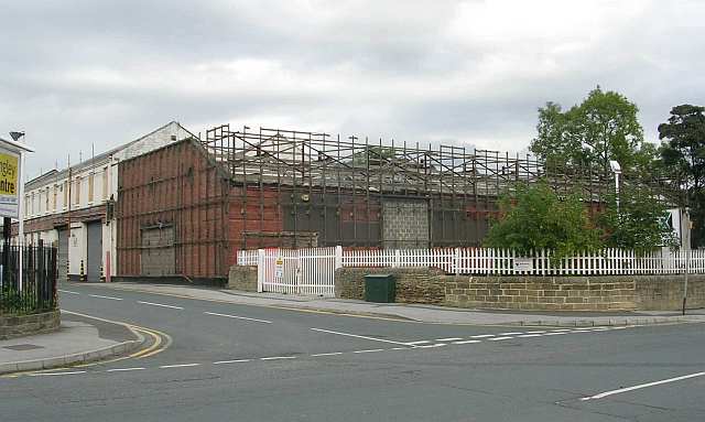
Image: © Betty Longbottom Taken: 25 Sep 2007
See original photo taken 15 March 2007 http://www.geograph.org.uk/photo/366693 . Update October 2009: This site has now been redeveloped and is trading as "Go Outdoors".
Images are licensed for reuse under creativecommons.org/licenses/by-sa/2.0
Image Location


Leaflet Map data © OpenStreetMap
Latitude
53.805451
Longitude
-1.673496