Llwybr Heol Coed Cae / Coed Cae Road Path
Introduction
The photograph on this page of Llwybr Heol Coed Cae / Coed Cae Road Path by Alan Richards as part of the Geograph project.
The Geograph project started in 2005 with the aim of publishing, organising and preserving representative images for every square kilometre of Great Britain, Ireland and the Isle of Man.

There are currently over 7.5m images from over 14,400 individuals and you can help contribute to the project by visiting https://www.geograph.org.uk
Llwybr Heol Coed Cae / Coed Cae Road Path
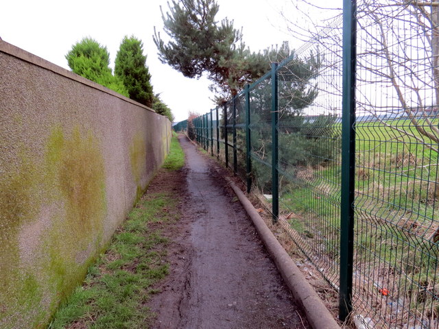
Image: © Alan Richards Taken: 30 Jan 2018
Llwybr cyhoeddus yn mynd i gyfeiriad Heol Coed Coed. Mae'r ffens yn ffinio a meysydd chwarae Ysgol Gyfyn Coed Cae. A public footpath heading in the direction of Coed Cae Road with the perimeter fence of Coed Cae Comprehensive School on the right.
Images are licensed for reuse under creativecommons.org/licenses/by-sa/2.0
Image Location
Latitude
51.680242
Longitude
-4.144538