The edge of the Cheshire Plain
Introduction
The photograph on this page of The edge of the Cheshire Plain by Alan Murray-Rust as part of the Geograph project.
The Geograph project started in 2005 with the aim of publishing, organising and preserving representative images for every square kilometre of Great Britain, Ireland and the Isle of Man.

There are currently over 7.5m images from over 14,400 individuals and you can help contribute to the project by visiting https://www.geograph.org.uk
The edge of the Cheshire Plain
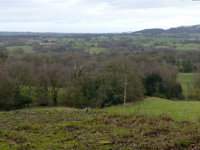
Image: © Alan Murray-Rust Taken: 25 Jan 2018
View from Tunstall Road on the lower slopes of The Cloud, near Toftgreen Farm.
Images are licensed for reuse under creativecommons.org/licenses/by-sa/2.0
Image Location
Latitude
53.174551
Longitude
-2.144182