Glennie Way, Chickerell
Introduction
The photograph on this page of Glennie Way, Chickerell by David Smith as part of the Geograph project.
The Geograph project started in 2005 with the aim of publishing, organising and preserving representative images for every square kilometre of Great Britain, Ireland and the Isle of Man.

There are currently over 7.5m images from over 14,400 individuals and you can help contribute to the project by visiting https://www.geograph.org.uk
Glennie Way, Chickerell
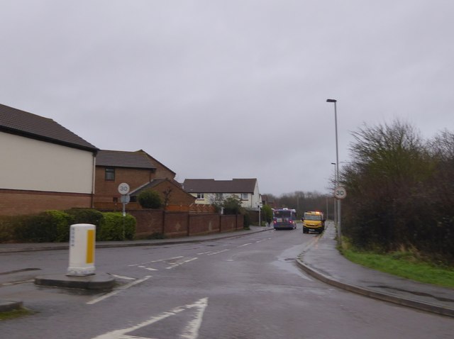
Image: © David Smith Taken: 24 Jan 2018
The southern edge of the village; the south side of the road is open land crossed by footpaths
Images are licensed for reuse under creativecommons.org/licenses/by-sa/2.0
Image Location
Latitude
50.617822
Longitude
-2.500468