Normal tidal limit on stream, Torpoint
Introduction
The photograph on this page of Normal tidal limit on stream, Torpoint by Derek Harper as part of the Geograph project.
The Geograph project started in 2005 with the aim of publishing, organising and preserving representative images for every square kilometre of Great Britain, Ireland and the Isle of Man.

There are currently over 7.5m images from over 14,400 individuals and you can help contribute to the project by visiting https://www.geograph.org.uk
Normal tidal limit on stream, Torpoint
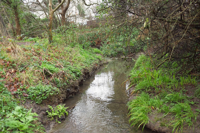
Image: © Derek Harper Taken: 27 Jan 2018
Looking left from the paving slabs shown in the stream in Image], past the stream confluence and across the point at which the map indicates the NTL for this stream.
Images are licensed for reuse under creativecommons.org/licenses/by-sa/2.0
Image Location
Latitude
50.372941
Longitude
-4.212014