Track leading to stables at Hurstfields
Introduction
The photograph on this page of Track leading to stables at Hurstfields by Stefan Czapski as part of the Geograph project.
The Geograph project started in 2005 with the aim of publishing, organising and preserving representative images for every square kilometre of Great Britain, Ireland and the Isle of Man.

There are currently over 7.5m images from over 14,400 individuals and you can help contribute to the project by visiting https://www.geograph.org.uk
Track leading to stables at Hurstfields
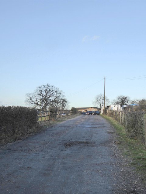
Image: © Stefan Czapski Taken: 25 Jan 2018
The track is private, and I took the photo while leaning on the gate off Hurst Road. Much of the countryside between here and Epsom is given over to equestrian purposes.
Images are licensed for reuse under creativecommons.org/licenses/by-sa/2.0
Image Location
Latitude
51.286662
Longitude
-0.252074