Wood Brook
Introduction
The photograph on this page of Wood Brook by Ian Calderwood as part of the Geograph project.
The Geograph project started in 2005 with the aim of publishing, organising and preserving representative images for every square kilometre of Great Britain, Ireland and the Isle of Man.

There are currently over 7.5m images from over 14,400 individuals and you can help contribute to the project by visiting https://www.geograph.org.uk
Wood Brook
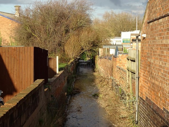
Image: © Ian Calderwood Taken: 26 Jan 2018
Wood Brook is confined to a narrow channel as it emerges from under Derby Road
Images are licensed for reuse under creativecommons.org/licenses/by-sa/2.0
Image Location
Latitude
52.777066
Longitude
-1.216199