Public footpath from Alton Park Road to Coopers Lane, Clacton-on-Sea
Introduction
The photograph on this page of Public footpath from Alton Park Road to Coopers Lane, Clacton-on-Sea by Duncan Graham as part of the Geograph project.
The Geograph project started in 2005 with the aim of publishing, organising and preserving representative images for every square kilometre of Great Britain, Ireland and the Isle of Man.

There are currently over 7.5m images from over 14,400 individuals and you can help contribute to the project by visiting https://www.geograph.org.uk
Public footpath from Alton Park Road to Coopers Lane, Clacton-on-Sea
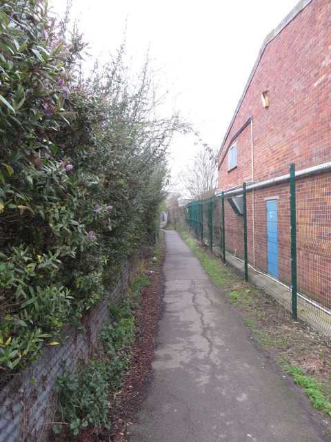
Image: © Duncan Graham Taken: 26 Jan 2018
This footpath or alley runs from Alton Park Road (near the entrance to Ford Road) to Coopers Lane. To the northeast of the footpath is the industrial estate on Ford Road, the rear of one of the buildings being visible on the picture. To the southwest are allotments. The photograph was taken facing to the northwest in the direction of Coopers Lane. The footpath is marked on Ordnance Survey maps (dashed line) in the southern part of grid square TM 1615.
Images are licensed for reuse under creativecommons.org/licenses/by-sa/2.0
Image Location
Latitude
51.792593
Longitude
1.139489