Houses in Axmouth
Introduction
The photograph on this page of Houses in Axmouth by Nigel Mykura as part of the Geograph project.
The Geograph project started in 2005 with the aim of publishing, organising and preserving representative images for every square kilometre of Great Britain, Ireland and the Isle of Man.

There are currently over 7.5m images from over 14,400 individuals and you can help contribute to the project by visiting https://www.geograph.org.uk
Houses in Axmouth
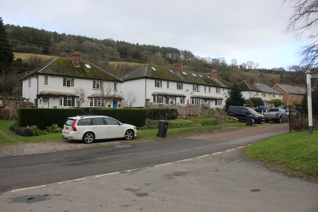
Image: © Nigel Mykura Taken: 21 Jan 2018
These Terraced houses which look like they may be ex-social housing are in Chapel St opposite the end of Steps Lane. behind them is Hawkesdown Hill which has an iron Age hill Fort on top of it.
Images are licensed for reuse under creativecommons.org/licenses/by-sa/2.0
Image Location
Latitude
50.714094
Longitude
-3.048088