Chapel Cottage
Introduction
The photograph on this page of Chapel Cottage by Anne Burgess as part of the Geograph project.
The Geograph project started in 2005 with the aim of publishing, organising and preserving representative images for every square kilometre of Great Britain, Ireland and the Isle of Man.

There are currently over 7.5m images from over 14,400 individuals and you can help contribute to the project by visiting https://www.geograph.org.uk
Chapel Cottage
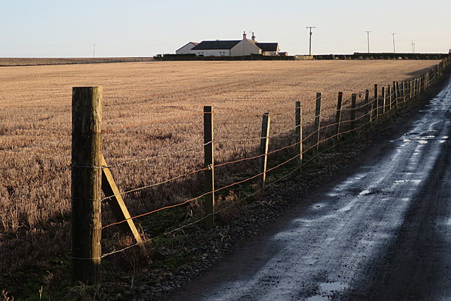
Image: © Anne Burgess Taken: 25 Jan 2018
The sign at the road end confused me until I looked at a larger scal map and saw that it is beside a well named Chapel Well. The cottage stands in a corner of a mediaeval moated enclosure.
Images are licensed for reuse under creativecommons.org/licenses/by-sa/2.0
Image Location
Latitude
56.704492
Longitude
-2.692127