View Southeastwards along John Street, Newtownards
Introduction
The photograph on this page of View Southeastwards along John Street, Newtownards by Eric Jones as part of the Geograph project.
The Geograph project started in 2005 with the aim of publishing, organising and preserving representative images for every square kilometre of Great Britain, Ireland and the Isle of Man.

There are currently over 7.5m images from over 14,400 individuals and you can help contribute to the project by visiting https://www.geograph.org.uk
View Southeastwards along John Street, Newtownards
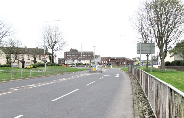
Image: © Eric Jones Taken: 22 Apr 2017
John Street links the Mill Street Round About with the A21 (Comber Road). The tallest building in the background the Newtownards PSNI Ards Divisional HQ. The Newtownards Ambulance Depot is located at the junction.
Images are licensed for reuse under creativecommons.org/licenses/by-sa/2.0
Image Location
Latitude
54.591847
Longitude
-5.701506