Kilburns Farm
Introduction
The photograph on this page of Kilburns Farm by James Allan as part of the Geograph project.
The Geograph project started in 2005 with the aim of publishing, organising and preserving representative images for every square kilometre of Great Britain, Ireland and the Isle of Man.

There are currently over 7.5m images from over 14,400 individuals and you can help contribute to the project by visiting https://www.geograph.org.uk
Kilburns Farm
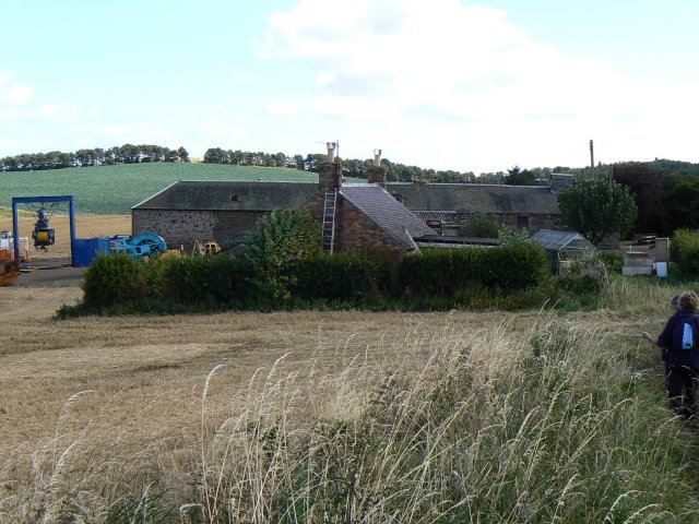
Image: © James Allan Taken: 10 Sep 2007
This farm is the headquarters of Deepwater Recovery and Exploration Limited and the blue frame to the left of Kilburns Farm here may be connected with a patent lifting system. This is described in a 2002 patent thus: "Apparatus for use in handling a load where a load-bearing rope (1) and a service cable (2) are inter-wound as they are being paid out, having a wrapping device for wrapping a securing member (17) around the service cable and the load-bearing rope, and to unwrap the securing member from the service cable and load- bearing rope as either of them is recovered. The securing member is wound around the service cable and the hoist rope, to hold the service cable relative to the load-bearing rope and to reduce the extent of creeping of the service cable down the load-bearing rope. The securing member can be planar, in the form of a strip, tape or ribbon, or can have a circular cross-section, in the form of a rope. In preferred embodiments, the securing member is resilient and is applied to the rope in tension."
Images are licensed for reuse under creativecommons.org/licenses/by-sa/2.0
Image Location
Latitude
56.415508
Longitude
-3.013632