Once the main road [1]
Introduction
The photograph on this page of Once the main road [1] by Michael Dibb as part of the Geograph project.
The Geograph project started in 2005 with the aim of publishing, organising and preserving representative images for every square kilometre of Great Britain, Ireland and the Isle of Man.

There are currently over 7.5m images from over 14,400 individuals and you can help contribute to the project by visiting https://www.geograph.org.uk
Once the main road [1]
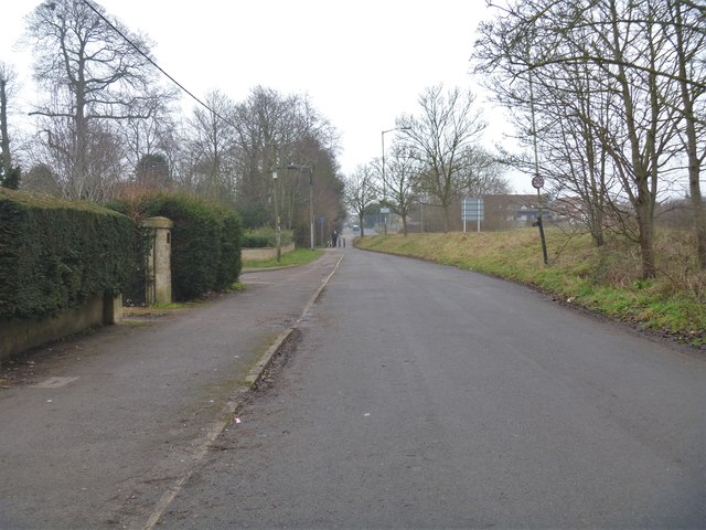
Image: © Michael Dibb Taken: 12 Jan 2018
Once part of the A365 road, this short stretch has been bypassed and the main road now runs to a large roundabout. Seen here looking south east towards Devizes.
Images are licensed for reuse under creativecommons.org/licenses/by-sa/2.0
Image Location
Latitude
51.363569
Longitude
-2.124912