Pompren Nant Hir / Nant Hir Footbridge
Introduction
The photograph on this page of Pompren Nant Hir / Nant Hir Footbridge by Alan Richards as part of the Geograph project.
The Geograph project started in 2005 with the aim of publishing, organising and preserving representative images for every square kilometre of Great Britain, Ireland and the Isle of Man.

There are currently over 7.5m images from over 14,400 individuals and you can help contribute to the project by visiting https://www.geograph.org.uk
Pompren Nant Hir / Nant Hir Footbridge
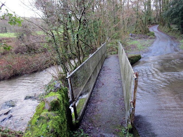
Image: © Alan Richards Taken: 24 Jan 2018
Pompren yn rhychwantu Nant Hir wrth iddi gwrdd ag Afon Dulais. A footbridge spanning Nant Hir (trans. long stream) as it joins Afon Dulais (trans. black water).
Images are licensed for reuse under creativecommons.org/licenses/by-sa/2.0
Image Location


Leaflet Map data © OpenStreetMap
Latitude
51.913276
Longitude
-4.072165