Llwybr Cyhoeddus / Public Footpath
Introduction
The photograph on this page of Llwybr Cyhoeddus / Public Footpath by Alan Richards as part of the Geograph project.
The Geograph project started in 2005 with the aim of publishing, organising and preserving representative images for every square kilometre of Great Britain, Ireland and the Isle of Man.

There are currently over 7.5m images from over 14,400 individuals and you can help contribute to the project by visiting https://www.geograph.org.uk
Llwybr Cyhoeddus / Public Footpath
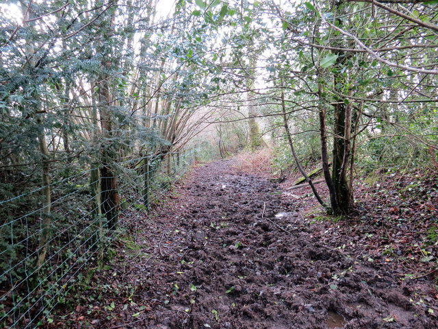
Image: © Alan Richards Taken: 24 Jan 2018
Llwybr cyhoeddus yn mynd i lawr y waered tuag at heol fach. Yn anffodus, nid yw llwybr yn hygyrch gan ei fod wedi ei esgeuluso'n ofnadwy. A public footpath descending towards a minor road. Unfortunately, the path is inaccessible due to terrible neglect.
Images are licensed for reuse under creativecommons.org/licenses/by-sa/2.0
Image Location


Leaflet Map data © OpenStreetMap
Latitude
51.915126
Longitude
-4.064108