Ruins of a brick farm outbuilding below the A19
Introduction
The photograph on this page of Ruins of a brick farm outbuilding below the A19 by Chris Heaton as part of the Geograph project.
The Geograph project started in 2005 with the aim of publishing, organising and preserving representative images for every square kilometre of Great Britain, Ireland and the Isle of Man.

There are currently over 7.5m images from over 14,400 individuals and you can help contribute to the project by visiting https://www.geograph.org.uk
Ruins of a brick farm outbuilding below the A19
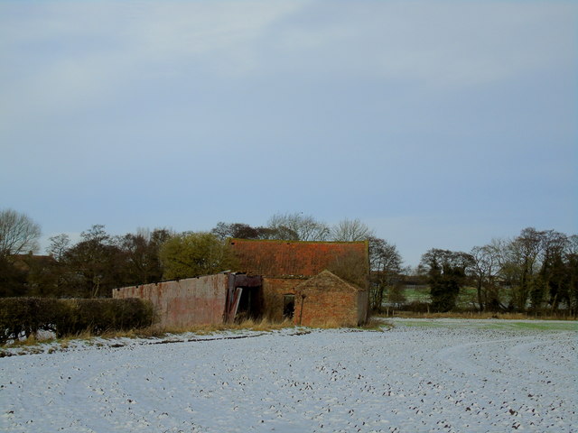
Image: © Chris Heaton Taken: 22 Jan 2018
Forlorn and forgotten, a red brick farm building with pantile roofing stuck in a snowy field. Located just south of Spital Beck, beside the A19 dual carriageway.
Images are licensed for reuse under creativecommons.org/licenses/by-sa/2.0
Image Location


Leaflet Map data © OpenStreetMap
Latitude
54.258631
Longitude
-1.346951