Bilbrook Station
Introduction
The photograph on this page of Bilbrook Station by Stephen McKay as part of the Geograph project.
The Geograph project started in 2005 with the aim of publishing, organising and preserving representative images for every square kilometre of Great Britain, Ireland and the Isle of Man.

There are currently over 7.5m images from over 14,400 individuals and you can help contribute to the project by visiting https://www.geograph.org.uk
Bilbrook Station
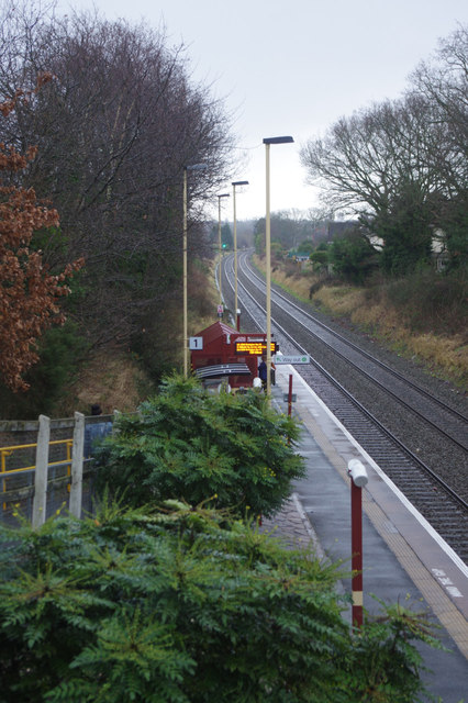
Image: © Stephen McKay Taken: 16 Jan 2018
Looking onto the up platform (towards Wolverhampton); the other platform is on the opposite side of the road bridge. The station was opened as Birches & Bilbrook Halt in 1934. The Birches name comes from Birches Bridge and Birches Road which runs parallel to the railway; Bilbrook was a nearby village now more or less absorbed into Codsall.
Images are licensed for reuse under creativecommons.org/licenses/by-sa/2.0
Image Location
Latitude
52.623537
Longitude
-2.185939