Stubble field by the M4
Introduction
The photograph on this page of Stubble field by the M4 by Derek Harper as part of the Geograph project.
The Geograph project started in 2005 with the aim of publishing, organising and preserving representative images for every square kilometre of Great Britain, Ireland and the Isle of Man.

There are currently over 7.5m images from over 14,400 individuals and you can help contribute to the project by visiting https://www.geograph.org.uk
Stubble field by the M4
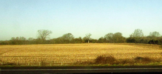
Image: © Derek Harper Taken: 19 Jan 2018
The field boundary on the right is the course of the dismantled Malmesbury branch railway line, and also carries the parish boundary between Christian Malford (this side) and Dauntsey. The triangular field is bounded on the left by Ridgeway Lane, followed by a footpath.
Images are licensed for reuse under creativecommons.org/licenses/by-sa/2.0
Image Location
Latitude
51.530605
Longitude
-2.028783