Grassland at Hawthornhill
Introduction
The photograph on this page of Grassland at Hawthornhill by Lairich Rig as part of the Geograph project.
The Geograph project started in 2005 with the aim of publishing, organising and preserving representative images for every square kilometre of Great Britain, Ireland and the Isle of Man.

There are currently over 7.5m images from over 14,400 individuals and you can help contribute to the project by visiting https://www.geograph.org.uk
Grassland at Hawthornhill
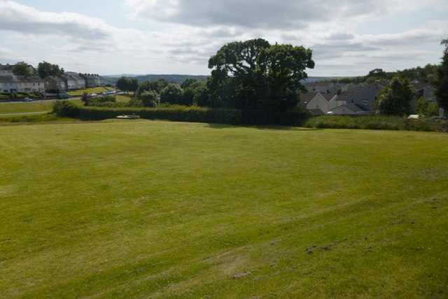
Image: © Lairich Rig Taken: 26 Jun 2013
The picture was taken from Image Compare Image, a distant view in the opposite direction; the embankment can be seen here, as can a heavy drain cover that is visible on the left, on the near side of the hedge, in the present picture. Behind the hedge is a path (shown better in the picture just linked), which was once the road leading to Hawthornhill Farm from the main road (which followed the present-day line of Cardross Road). The houses in the left background are at Westcliff. Those on the right are at Lennox Gardens (an area of housing where many of the streets have "Perrays" in their name; see https://www.geograph.org.uk/snippet/17333 for the significance of that). Some play areas are out of shot to the left: see Image
Images are licensed for reuse under creativecommons.org/licenses/by-sa/2.0
Image Location
Latitude
55.950247
Longitude
-4.601279