Swinburne Road
Introduction
The photograph on this page of Swinburne Road by Nigel Mykura as part of the Geograph project.
The Geograph project started in 2005 with the aim of publishing, organising and preserving representative images for every square kilometre of Great Britain, Ireland and the Isle of Man.

There are currently over 7.5m images from over 14,400 individuals and you can help contribute to the project by visiting https://www.geograph.org.uk
Swinburne Road
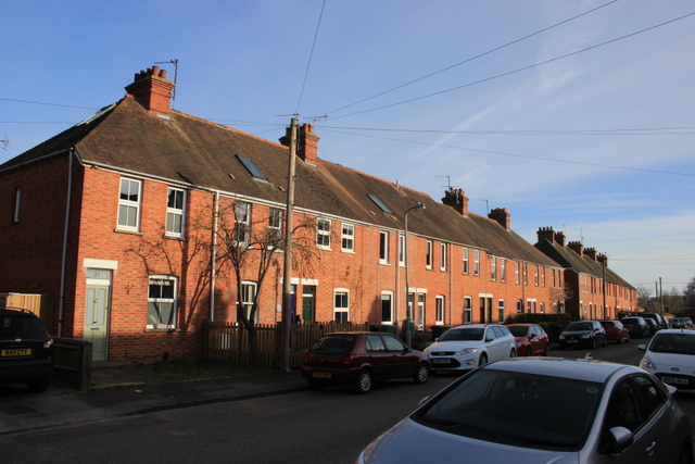
Image: © Nigel Mykura Taken: 1 Mar 2017
This long residential street close to the centre of Abingdon runs between Radley Rd and the oxford road and consists mainly of red-brick terraces
Images are licensed for reuse under creativecommons.org/licenses/by-sa/2.0
Image Location
Latitude
51.676359
Longitude
-1.27323