Westbrook Drive
Introduction
The photograph on this page of Westbrook Drive by John Baker as part of the Geograph project.
The Geograph project started in 2005 with the aim of publishing, organising and preserving representative images for every square kilometre of Great Britain, Ireland and the Isle of Man.

There are currently over 7.5m images from over 14,400 individuals and you can help contribute to the project by visiting https://www.geograph.org.uk
Westbrook Drive
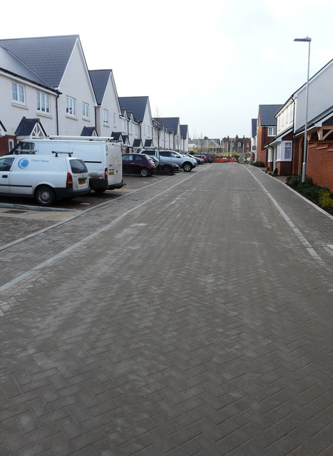
Image: © John Baker Taken: 4 Jan 2018
These houses have been built on an estate known as the West End Quarter, which is accessible from Marten Road via Broadfield Road.
Images are licensed for reuse under creativecommons.org/licenses/by-sa/2.0
Image Location
Latitude
51.082199
Longitude
1.162952