Morpeth "Common"
Introduction
The photograph on this page of Morpeth "Common" by Iain McDonald as part of the Geograph project.
The Geograph project started in 2005 with the aim of publishing, organising and preserving representative images for every square kilometre of Great Britain, Ireland and the Isle of Man.

There are currently over 7.5m images from over 14,400 individuals and you can help contribute to the project by visiting https://www.geograph.org.uk
Morpeth "Common"
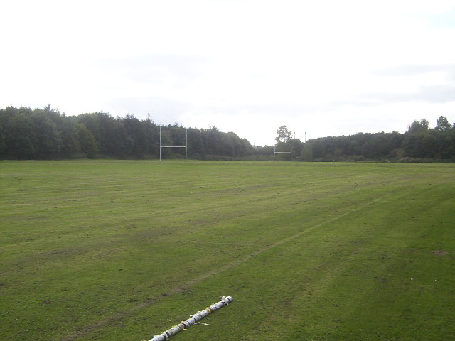
Image: © Iain McDonald Taken: 20 Sep 2005
Common Grazing land that once formed part of Morpeth Common still retains the name, but has been given over to purposes other than grazing. The 1940s maps show it as a rifle range, but during World War Two it was used to house Polish refugees, who still maintain a strong presence in the locality. It was also used as a hospital, before being turned into its current use - a rugby pitch (the football ground lies just off shot to the right).
Images are licensed for reuse under creativecommons.org/licenses/by-sa/2.0
Image Location
Latitude
55.154492
Longitude
-1.711227