Dorian Close, Tring
Introduction
The photograph on this page of Dorian Close, Tring by David Sands as part of the Geograph project.
The Geograph project started in 2005 with the aim of publishing, organising and preserving representative images for every square kilometre of Great Britain, Ireland and the Isle of Man.

There are currently over 7.5m images from over 14,400 individuals and you can help contribute to the project by visiting https://www.geograph.org.uk
Dorian Close, Tring
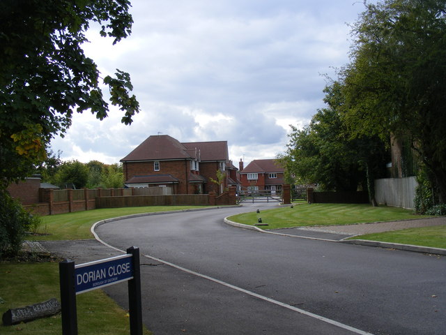
Image: © David Sands Taken: 22 Sep 2007
This small infill estate of luxury homes, located to the west of Cow Lane, is so new that it does not appear on the map yet.
Images are licensed for reuse under creativecommons.org/licenses/by-sa/2.0
Image Location


Leaflet Map data © OpenStreetMap
Latitude
51.796567
Longitude
-0.64326