Disused burial ground from the time of the Great Plague
Introduction
The photograph on this page of Disused burial ground from the time of the Great Plague by Marathon as part of the Geograph project.
The Geograph project started in 2005 with the aim of publishing, organising and preserving representative images for every square kilometre of Great Britain, Ireland and the Isle of Man.

There are currently over 7.5m images from over 14,400 individuals and you can help contribute to the project by visiting https://www.geograph.org.uk
Disused burial ground from the time of the Great Plague
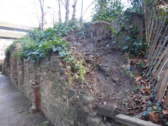
Image: © Marathon Taken: 17 Jan 2018
The raised mound straight here, on which there are several tombstones, was part of the burial ground of St Giles Cripplegate where victims of the Great Plague of 1665 were buried.
Images are licensed for reuse under creativecommons.org/licenses/by-sa/2.0
Image Location
Latitude
51.518292
Longitude
-0.095049