Platelayer's hut, Wombwell
Introduction
The photograph on this page of Platelayer's hut, Wombwell by Stephen Craven as part of the Geograph project.
The Geograph project started in 2005 with the aim of publishing, organising and preserving representative images for every square kilometre of Great Britain, Ireland and the Isle of Man.

There are currently over 7.5m images from over 14,400 individuals and you can help contribute to the project by visiting https://www.geograph.org.uk
Platelayer's hut, Wombwell
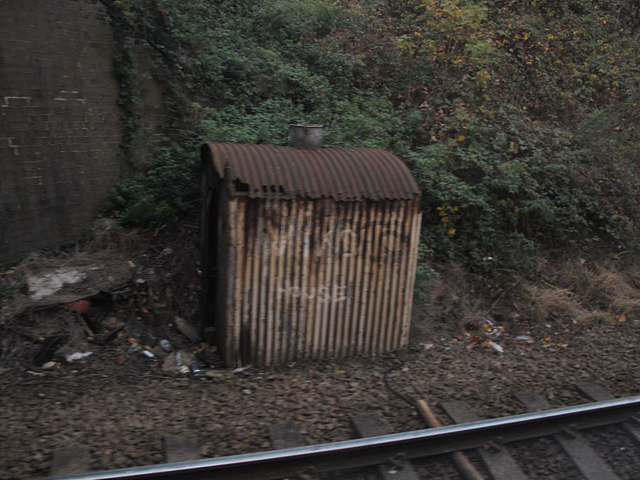
Image: © Stephen Craven Taken: 5 Nov 2016
In the shadow of Hough Lane bridge Image I doubt that present day railway workers still use these old huts - there are strict employee welfare standards now that this would not satisfy.
Images are licensed for reuse under creativecommons.org/licenses/by-sa/2.0
Image Location
Latitude
53.517027
Longitude
-1.415564