View down the River Chelmer
Introduction
The photograph on this page of View down the River Chelmer by Christopher Hilton as part of the Geograph project.
The Geograph project started in 2005 with the aim of publishing, organising and preserving representative images for every square kilometre of Great Britain, Ireland and the Isle of Man.

There are currently over 7.5m images from over 14,400 individuals and you can help contribute to the project by visiting https://www.geograph.org.uk
View down the River Chelmer
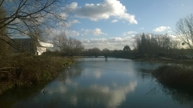
Image: © Christopher Hilton Taken: 19 Jan 2018
Looking downstream from the last bridge over the Chelmer before the River Can joins it from the right. Beyond the next bridge are floats warning of the weir, Chelmsford Gates; the navigable stretch of river begins below this. The white building on the left is Essex Record Office.
Images are licensed for reuse under creativecommons.org/licenses/by-sa/2.0
Image Location
Latitude
51.72987
Longitude
0.479195