Recreation Ground off Heaton Terrace
Introduction
The photograph on this page of Recreation Ground off Heaton Terrace by Andrew Curtis as part of the Geograph project.
The Geograph project started in 2005 with the aim of publishing, organising and preserving representative images for every square kilometre of Great Britain, Ireland and the Isle of Man.

There are currently over 7.5m images from over 14,400 individuals and you can help contribute to the project by visiting https://www.geograph.org.uk
Recreation Ground off Heaton Terrace
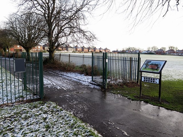
Image: © Andrew Curtis Taken: 18 Jan 2018
The notice board on the right shows the start of the Preston Waggonway discovered by pupils at Collingwood Primary School in North Shields in 2005. Preston Waggonway carried coal from the small Preston pit, which used to lie roughly where the bowling club and Heaton Terrace are located today, to Tynemouth Gas Company works in North Shields. The gasholder in Minton Lane, at the end of the Waggonway Trail, was dismantled in 2009. http://www.jimscott.co.uk/Local/LH_440_waggonways.html
Images are licensed for reuse under creativecommons.org/licenses/by-sa/2.0
Image Location
Latitude
55.013581
Longitude
-1.468292