
Castle Hill: view down the western side
Introduction
The photograph on this page of Castle Hill: view down the western side by Lairich Rig as part of the Geograph project.
The Geograph project started in 2005 with the aim of publishing, organising and preserving representative images for every square kilometre of Great Britain, Ireland and the Isle of Man.

There are currently over 7.5m images from over 14,400 individuals and you can help contribute to the project by visiting https://www.geograph.org.uk
Castle Hill: view down the western side
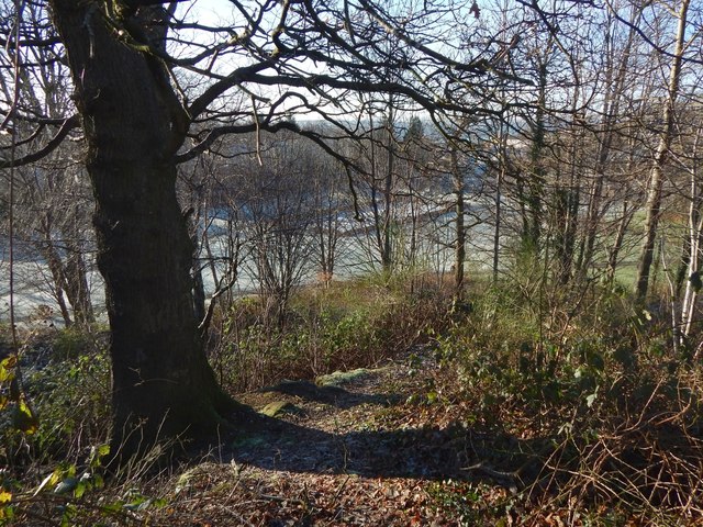
Image: © Lairich Rig Taken: 8 Jan 2018
This is a view from the top of the knoll that gives the Castlehill area of Dumbarton its name. The flat, pale-green area below is the Image, covered in frost. The rectangular feature that can be seen directly ahead, 100 metres away, in the present picture is a football pitch in an enclosure; in the picture just linked, it can also be seen in front of the left-hand side of the large building in the background (which is Image). There is a path of sorts down this side of the knoll; see Image
Images are licensed for reuse under creativecommons.org/licenses/by-sa/2.0
Image Location

Latitude
55.948252
Longitude
-4.589291