Castle Hill: the southern side
Introduction
The photograph on this page of Castle Hill: the southern side by Lairich Rig as part of the Geograph project.
The Geograph project started in 2005 with the aim of publishing, organising and preserving representative images for every square kilometre of Great Britain, Ireland and the Isle of Man.

There are currently over 7.5m images from over 14,400 individuals and you can help contribute to the project by visiting https://www.geograph.org.uk
Castle Hill: the southern side
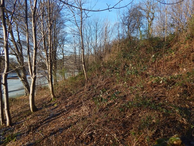
Image: © Lairich Rig Taken: 8 Jan 2018
This Castle Hill is a small knoll, shown from a distance in Image, that gives the Castlehill area of Dumbarton its name. It stands in the Image Part of Image can be seen indistinctly in the distance. As noted there, the school had only recently relocated from that site.
Images are licensed for reuse under creativecommons.org/licenses/by-sa/2.0
Image Location
Latitude
55.948645
Longitude
-4.587716