Royal Villa, 13, Vale Square
Introduction
The photograph on this page of Royal Villa, 13, Vale Square by John Baker as part of the Geograph project.
The Geograph project started in 2005 with the aim of publishing, organising and preserving representative images for every square kilometre of Great Britain, Ireland and the Isle of Man.

There are currently over 7.5m images from over 14,400 individuals and you can help contribute to the project by visiting https://www.geograph.org.uk
Royal Villa, 13, Vale Square
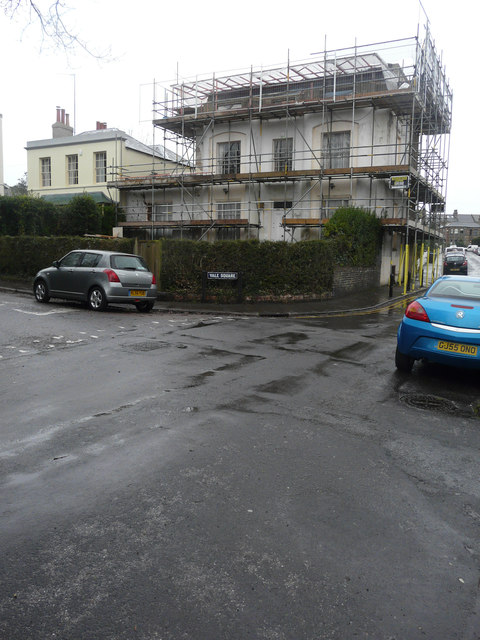
Image: © John Baker Taken: 31 Dec 2017
Planning permission was granted by Thanet District Council under application number L/TH/17/1183 for an “application for listed building consent for replacement of roof”.
Images are licensed for reuse under creativecommons.org/licenses/by-sa/2.0
Image Location
Latitude
51.332429
Longitude
1.412911