Abutment of former railway bridge over Medway
Introduction
The photograph on this page of Abutment of former railway bridge over Medway by Robin Webster as part of the Geograph project.
The Geograph project started in 2005 with the aim of publishing, organising and preserving representative images for every square kilometre of Great Britain, Ireland and the Isle of Man.

There are currently over 7.5m images from over 14,400 individuals and you can help contribute to the project by visiting https://www.geograph.org.uk
Abutment of former railway bridge over Medway
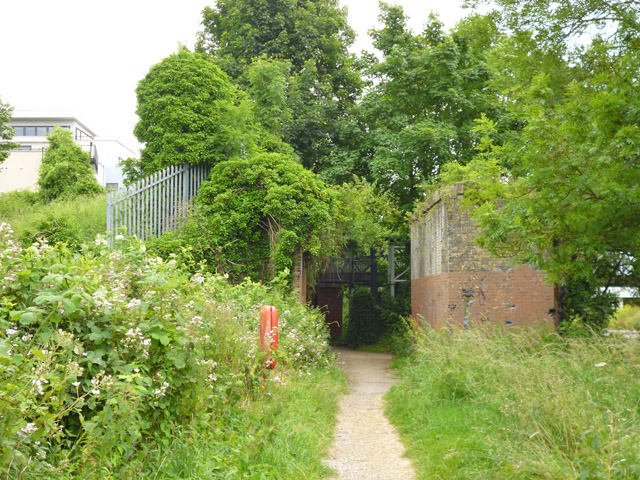
Image: © Robin Webster Taken: 27 Jun 2012
This was for the short Tovil Goods Branch, that served paper mills on the south side of the river. It closed in 1977.
Images are licensed for reuse under creativecommons.org/licenses/by-sa/2.0
Image Location
Latitude
51.265887
Longitude
0.509474