Pomona Dock #3
Introduction
The photograph on this page of Pomona Dock #3 by Gerald England as part of the Geograph project.
The Geograph project started in 2005 with the aim of publishing, organising and preserving representative images for every square kilometre of Great Britain, Ireland and the Isle of Man.

There are currently over 7.5m images from over 14,400 individuals and you can help contribute to the project by visiting https://www.geograph.org.uk
Pomona Dock #3
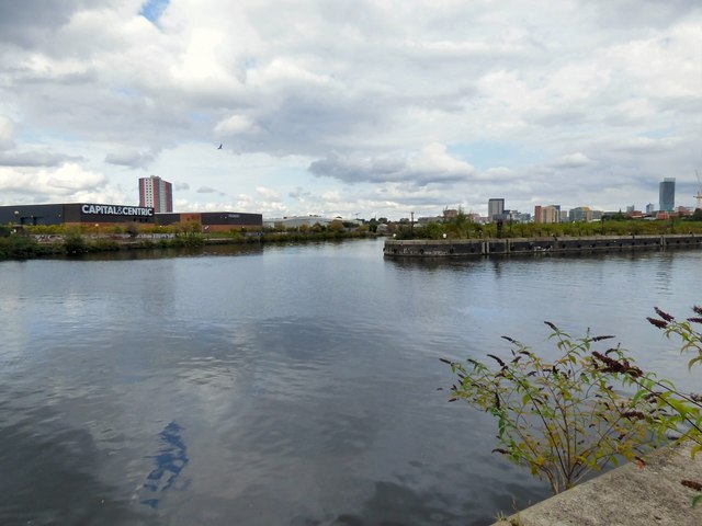
Image: © Gerald England Taken: 23 Aug 2017
On the left is the Manchester Ship Canal. On the right is Pomona Dock #3 from where a lock allows entry to the Bridgewater Canal for permitted vessels.
Images are licensed for reuse under creativecommons.org/licenses/by-sa/2.0
Image Location
Latitude
53.46753
Longitude
-2.275626