Cawthorne Dike valley
Introduction
The photograph on this page of Cawthorne Dike valley by Derek Harper as part of the Geograph project.
The Geograph project started in 2005 with the aim of publishing, organising and preserving representative images for every square kilometre of Great Britain, Ireland and the Isle of Man.

There are currently over 7.5m images from over 14,400 individuals and you can help contribute to the project by visiting https://www.geograph.org.uk
Cawthorne Dike valley
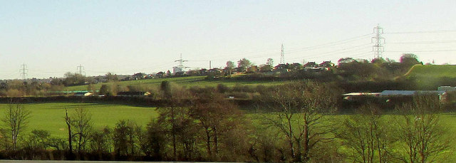
Image: © Derek Harper Taken: 28 Dec 2017
Like Image], a view from the M1 over the stream, and towards Barugh on the hill.
Images are licensed for reuse under creativecommons.org/licenses/by-sa/2.0
Image Location


Leaflet Map data © OpenStreetMap
Latitude
53.573997
Longitude
-1.534836