Asymmetric tower near Harbury Lane
Introduction
The photograph on this page of Asymmetric tower near Harbury Lane by Robin Stott as part of the Geograph project.
The Geograph project started in 2005 with the aim of publishing, organising and preserving representative images for every square kilometre of Great Britain, Ireland and the Isle of Man.

There are currently over 7.5m images from over 14,400 individuals and you can help contribute to the project by visiting https://www.geograph.org.uk
Asymmetric tower near Harbury Lane
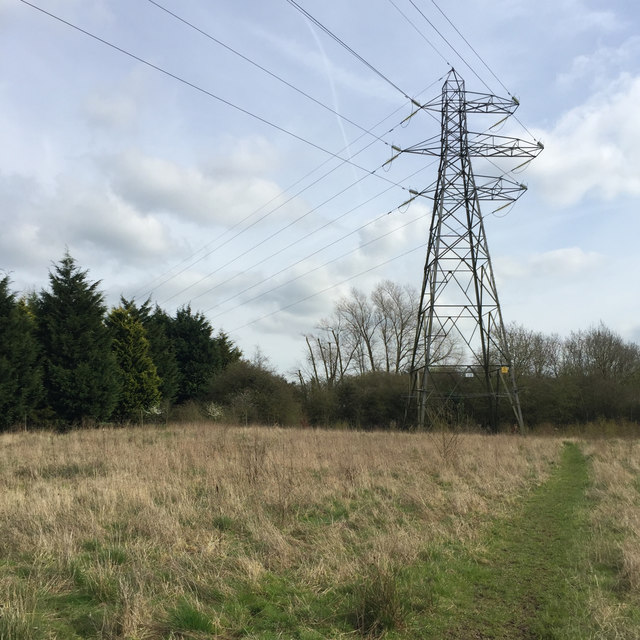
Image: © Robin Stott Taken: 26 Mar 2017
The power lines to Harbury village turn sharply east here. The route behind the camera may avoid the Leamington and County Golf Course; note the Leyland Cypress screen, left. On the right, a dog walker's path around this vacant land: there is easy access and parking at the Harbury Lane playing fields.
Images are licensed for reuse under creativecommons.org/licenses/by-sa/2.0
Image Location


Leaflet Map data © OpenStreetMap
Latitude
52.25096
Longitude
-1.517297