Bench mark in Jackson's Lane quarry, Oliver's Mount
Introduction
The photograph on this page of Bench mark in Jackson's Lane quarry, Oliver's Mount by John S Turner as part of the Geograph project.
The Geograph project started in 2005 with the aim of publishing, organising and preserving representative images for every square kilometre of Great Britain, Ireland and the Isle of Man.

There are currently over 7.5m images from over 14,400 individuals and you can help contribute to the project by visiting https://www.geograph.org.uk
Bench mark in Jackson's Lane quarry, Oliver's Mount
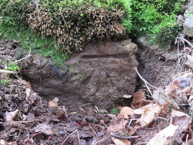
Image: © John S Turner Taken: 7 May 2017
This Ordnance Survey bench mark was covered by moss on the southern edge of the large former quarry in Jackson's Lane, below Oliver's Mount. The mark first appears on the 1967-8 O.S. map, so is not very old. See also Image
Images are licensed for reuse under creativecommons.org/licenses/by-sa/2.0
Image Location
Latitude
54.257929
Longitude
-0.404244