Byway to Tal-sarn in Ceredigion
Introduction
The photograph on this page of Byway to Tal-sarn in Ceredigion by Roger D Kidd as part of the Geograph project.
The Geograph project started in 2005 with the aim of publishing, organising and preserving representative images for every square kilometre of Great Britain, Ireland and the Isle of Man.

There are currently over 7.5m images from over 14,400 individuals and you can help contribute to the project by visiting https://www.geograph.org.uk
Byway to Tal-sarn in Ceredigion
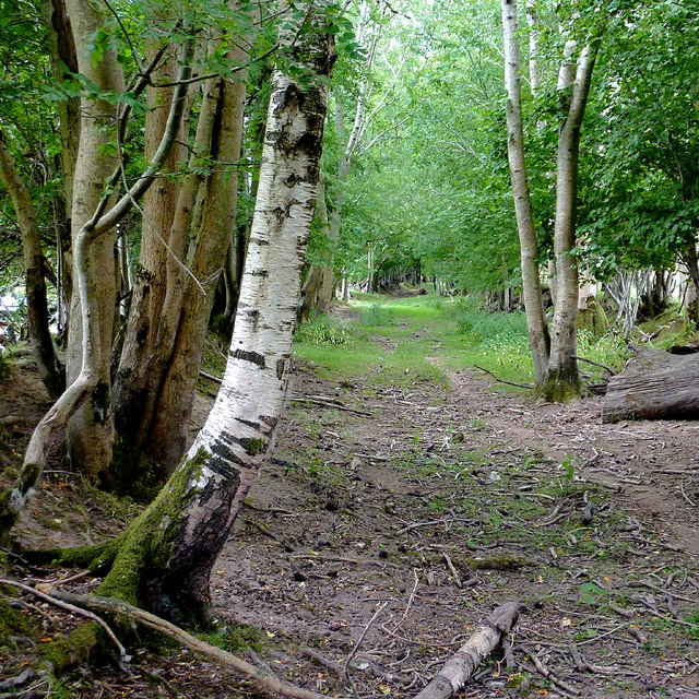
Image: © Roger D Kidd Taken: 23 Jul 2013
Looking south-east. The unsurfaced route from Brynog is classified as a restricted by-way (not for use by mechanically propelled vehicles).
Images are licensed for reuse under creativecommons.org/licenses/by-sa/2.0
Image Location


Leaflet Map data © OpenStreetMap
Latitude
52.192394
Longitude
-4.132384