East Bailey, Killingworth
Introduction
The photograph on this page of East Bailey, Killingworth by Graham Robson as part of the Geograph project.
The Geograph project started in 2005 with the aim of publishing, organising and preserving representative images for every square kilometre of Great Britain, Ireland and the Isle of Man.

There are currently over 7.5m images from over 14,400 individuals and you can help contribute to the project by visiting https://www.geograph.org.uk
East Bailey, Killingworth
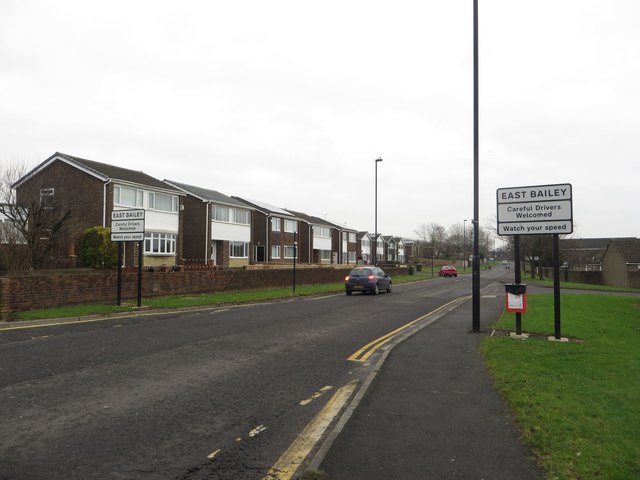
Image: © Graham Robson Taken: 13 Jan 2018
The street looping around the residential area to the east of the facilities in the centre of Killingworth.
Images are licensed for reuse under creativecommons.org/licenses/by-sa/2.0
Image Location
Latitude
55.037136
Longitude
-1.561236