Cam Valley playing fields
Introduction
The photograph on this page of Cam Valley playing fields by HelenK as part of the Geograph project.
The Geograph project started in 2005 with the aim of publishing, organising and preserving representative images for every square kilometre of Great Britain, Ireland and the Isle of Man.

There are currently over 7.5m images from over 14,400 individuals and you can help contribute to the project by visiting https://www.geograph.org.uk
Cam Valley playing fields
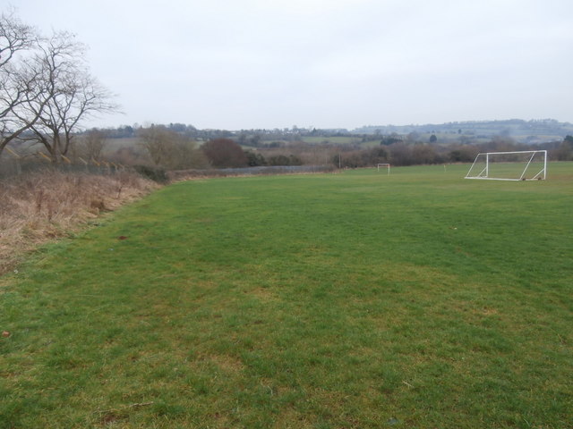
Image: © HelenK Taken: 14 Jan 2018
These playing fields are not yet marked on the OS maps and the structure marked as being in the NW corner of the field has disappeared. Today a match was in progress between Bath City Gladiators (who won easily) and Purnells B team. The fields enjoy a location with an pleasing view around the valley over to High Littleton on the other side.
Images are licensed for reuse under creativecommons.org/licenses/by-sa/2.0
Image Location
Latitude
51.311379
Longitude
-2.505971