The boundary of Cam Valley playing fields
Introduction
The photograph on this page of The boundary of Cam Valley playing fields by HelenK as part of the Geograph project.
The Geograph project started in 2005 with the aim of publishing, organising and preserving representative images for every square kilometre of Great Britain, Ireland and the Isle of Man.

There are currently over 7.5m images from over 14,400 individuals and you can help contribute to the project by visiting https://www.geograph.org.uk
The boundary of Cam Valley playing fields
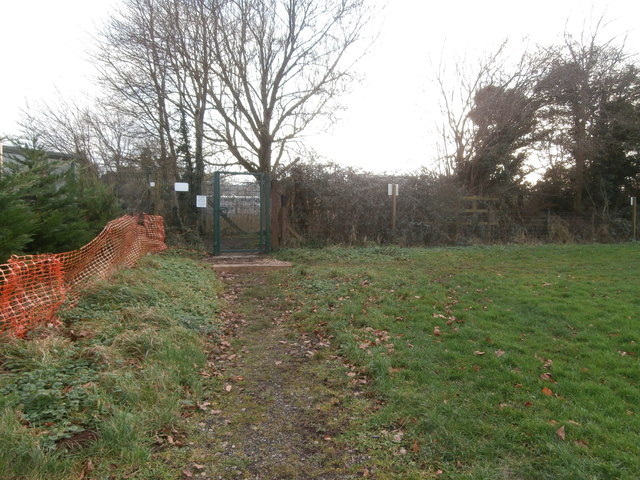
Image: © HelenK Taken: 14 Jan 2018
This playing field is now a fenced off area used for matches by Purnell Sports Youth. This organisation is named after Purnell's, the printers whose works were located in the area beyond this fence until 2005. There is no access to the playing field when it is not in use, and this gate, which opens onto a public footpath, was padlocked. Beyond the footpath more housing is being built.
Images are licensed for reuse under creativecommons.org/licenses/by-sa/2.0
Image Location
Latitude
51.311304
Longitude
-2.502383