A659 at Crabtree Lane
Introduction
The photograph on this page of A659 at Crabtree Lane by Derek Harper as part of the Geograph project.
The Geograph project started in 2005 with the aim of publishing, organising and preserving representative images for every square kilometre of Great Britain, Ireland and the Isle of Man.

There are currently over 7.5m images from over 14,400 individuals and you can help contribute to the project by visiting https://www.geograph.org.uk
A659 at Crabtree Lane
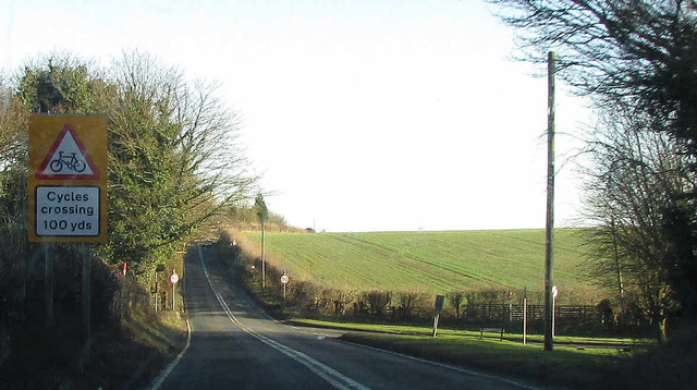
Image: © Derek Harper Taken: 28 Dec 2017
A dip in Harewood Road takes it past a turn to East Keswick. The Ebor Way turns off the main road to the left at the junction, to drop down a bridleway to the River Wharfe.
Images are licensed for reuse under creativecommons.org/licenses/by-sa/2.0
Image Location


Leaflet Map data © OpenStreetMap
Latitude
53.903769
Longitude
-1.449145