The Crown, 30, York Street
Introduction
The photograph on this page of The Crown, 30, York Street by John Baker as part of the Geograph project.
The Geograph project started in 2005 with the aim of publishing, organising and preserving representative images for every square kilometre of Great Britain, Ireland and the Isle of Man.

There are currently over 7.5m images from over 14,400 individuals and you can help contribute to the project by visiting https://www.geograph.org.uk
The Crown, 30, York Street
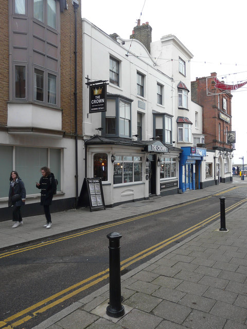
Image: © John Baker Taken: 31 Dec 2017
Planning permission was granted by Thanet District Council under application number A/TH/17/0356 for the “erection and display of 1 externally illuminated fascia sign, 2 non-illuminated fascia signs, 1 externally non-illuminated projecting hanging sign and 2 aluminium plaque signs”. The public house was formerly called Image but has now reverted to its original name.
Images are licensed for reuse under creativecommons.org/licenses/by-sa/2.0
Image Location
Latitude
51.332318
Longitude
1.419795