High Street, Keinton Mandeville
Introduction
The photograph on this page of High Street, Keinton Mandeville by Richard Webb as part of the Geograph project.
The Geograph project started in 2005 with the aim of publishing, organising and preserving representative images for every square kilometre of Great Britain, Ireland and the Isle of Man.

There are currently over 7.5m images from over 14,400 individuals and you can help contribute to the project by visiting https://www.geograph.org.uk
High Street, Keinton Mandeville
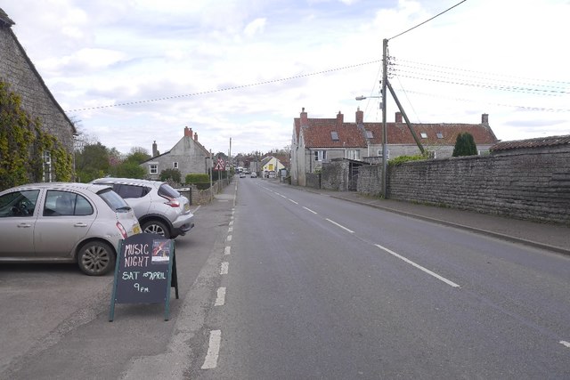
Image: © Richard Webb Taken: 10 Apr 2017
The B3153 passing the Quarry Inn. Limestone quarrying still takes place in Keinton Mandeville.
Images are licensed for reuse under creativecommons.org/licenses/by-sa/2.0
Image Location
Latitude
51.07626
Longitude
-2.647286