Rossbank Place: date stone
Introduction
The photograph on this page of Rossbank Place: date stone by Lairich Rig as part of the Geograph project.
The Geograph project started in 2005 with the aim of publishing, organising and preserving representative images for every square kilometre of Great Britain, Ireland and the Isle of Man.

There are currently over 7.5m images from over 14,400 individuals and you can help contribute to the project by visiting https://www.geograph.org.uk
Rossbank Place: date stone
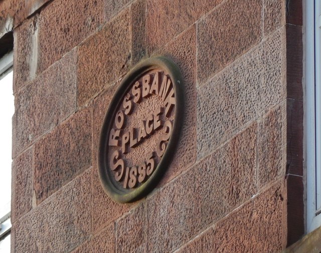
Image: © Lairich Rig Taken: 20 Dec 2017
The view is from the footpath / cycle path along the west side of the River Leven. The building itself is set back about 80 metres from Main Street, and access to it is by means of a pend through a building set closer to the street. When this building was erected there were two churches nearby; another one would be built just a few years later: Image The existing ones nearby were the Gaelic Free Church at Image, about 40 metres to the northwest of Rossbank Place (see comments at Image), and one that is variously labelled "Mission Church" (1860), "U.P.Church" (1897) and "U.F.Church" (1914), at Image, corresponding to present-day Trinity Place, 60 metres WSW of Rossbank Place. See the last paragraph at Image for the dates of the two churches that are no longer present; the "Parish Church in Alexander St" mentioned there is Renton Trinity Parish Church itself.
Images are licensed for reuse under creativecommons.org/licenses/by-sa/2.0
Image Location
Latitude
55.968346
Longitude
-4.582621