Chideock, Pettycrate Lane
Introduction
The photograph on this page of Chideock, Pettycrate Lane by Mike Faherty as part of the Geograph project.
The Geograph project started in 2005 with the aim of publishing, organising and preserving representative images for every square kilometre of Great Britain, Ireland and the Isle of Man.

There are currently over 7.5m images from over 14,400 individuals and you can help contribute to the project by visiting https://www.geograph.org.uk
Chideock, Pettycrate Lane
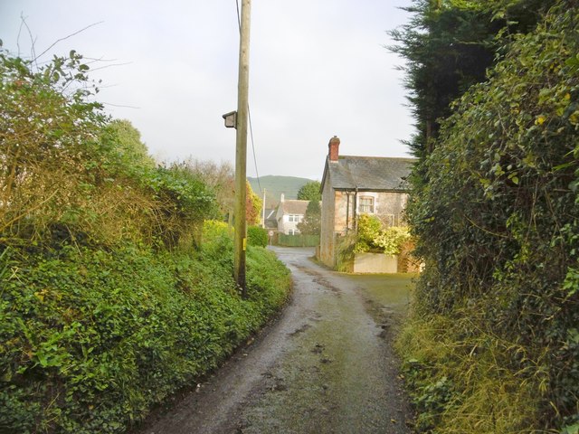
Image: © Mike Faherty Taken: 11 Jan 2018
At its eastern end, with the onset of housing, the lane from Golden Cap becomes made up, on its way to Sea Hill Lane.
Images are licensed for reuse under creativecommons.org/licenses/by-sa/2.0
Image Location


Leaflet Map data © OpenStreetMap
Latitude
50.730203
Longitude
-2.82245